
THE BIG OL’ TOUR OF BLOCK ISLAND
Usually in these blog posts, we like to focus on specific things you can find and do on Block Island. But sometimes, just sometimes, you just want to do some exploring. Luckily for you, all of the beauty of Block Island is located on just over 9 ½ square miles.
We would like to present to you… The Big Ol’ Tour of Block Island! This 15+ mile route will take you from the northern-most point on the east side of the island, down to the southern shores, and back up to the northern-most point on the west shore. It’s a taste of what the island has to offer.
We’ve suggested stops to make along the way. That’s not to say that there isn’t much more to see, though. We encourage you to stray from the beaten path. You never know what you’ll find!
LET’S BEGIN
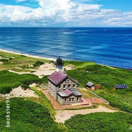
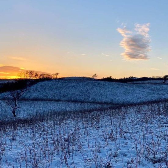
Let’s start off our journey by taking some pictures of historic North Lighthouse at the tip of the island. Leaving beautiful landmark behind, you make your way south along Corn Neck Rd. to the Sacred Labyrinth. Here you can take a little time to stroll this meditative ground and get some perspective on life. Just to the east is the Clay Head Trail, one of the most beautiful natural areas on the island.
THE PORT AREA

Making your way back down to the port, you can find the Statue of Rebecca at the intersection of Water, Spring and High Streets. Just around the corner, visit the llamas, tortoise, and kangaroos at the Abrams Animal Farm. Say “Hi” to Cindy the zedonk for us!
HEADING SOUTH
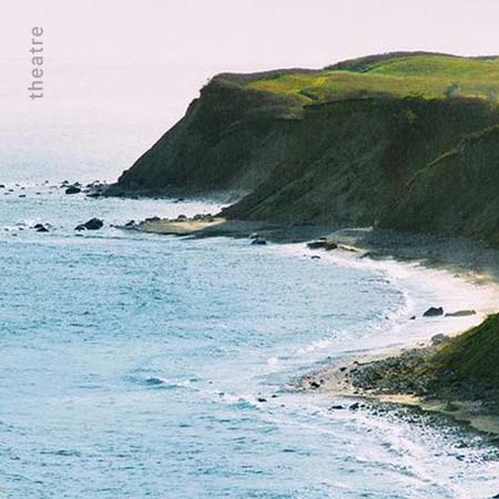
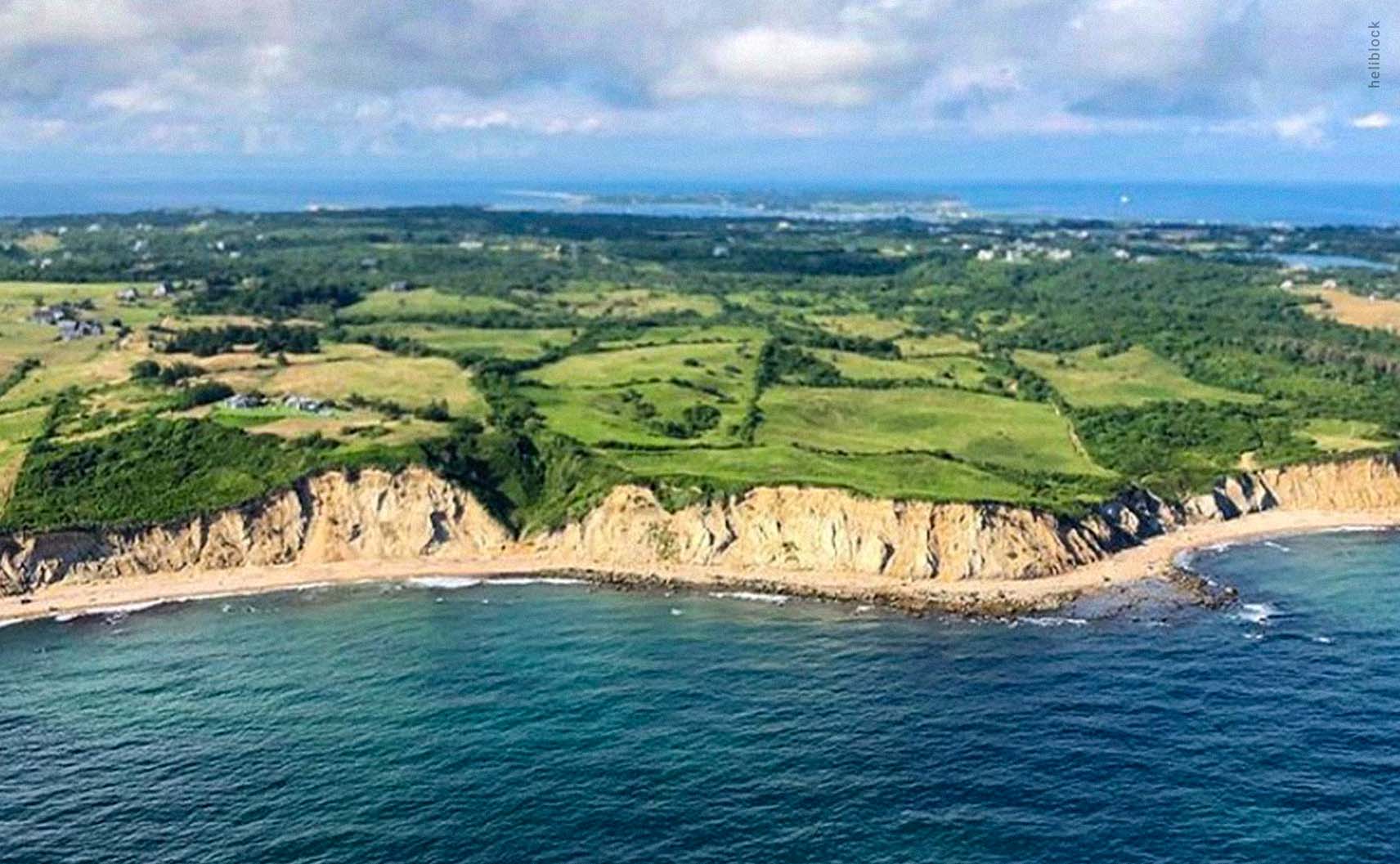
Following Spring St. south, you’ll eventually hit the second lighthouse on the tour: the South East Lighthouse. Follow the dunes to the west and you’ll soon come across Block Island’s famous, and photo-worthy, Mohegan Bluffs. Continuing west along the shore, you’ll see several of the island’s most picturesque beaches. When you reach Black Rock Point, head north inland to explore the island’s second beautiful hiking trail, Rodman’s Hollow.
GREAT SALT POND AND WESTERN SHORES
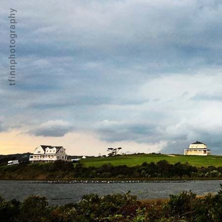
Exiting Rodman’s Hollow on Black Rock Rd., follow Cooneymus Rd. and Center Rd. north towards the Great Salt Pond. Ball O’Brien Park, located on the southern shore of the pond, will give you a wonderful view of the pond and surrounding properties. Continuing on West Side Rd. and Champlin Rd., you will pass Cormorant Cove before reaching your final destination: the Coast Guard station overlooking the inlet to the Great Salt Pond.
While it is possible to do this trek in one day, you’ll want to give yourself some time to soak in and enjoy the things you’ll find. It’s a great opportunity to book a stay at one of the many available accommodations on the island. And remember, it’s not about the destination. It’s about the journey. Sail Away…
Photo Credits: @heliblock, @j_moto, @theatre, @tfinnphotography